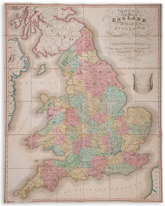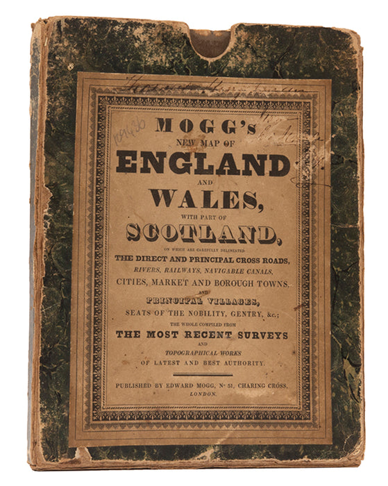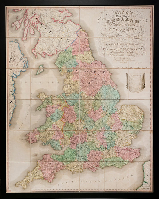
New Map of England and Wales, with part of Scotland.
On which are carefully delineated the direct and principal cross roads, rivers railways, navigable canals, cities, market and borough towns, and principal villages, seats of the nobility and gentry &c. The whole compiled from the most recent surveys and topographical works of latest and best authority.
London, Published by E. Mogg, 1834
Edward Mogg (d.1860) was a cartographer, engraver, and publisher, active in London at the beginning of the nineteenth century. Rather unusually for the time he not only drew his own maps, but also engraved them. The business was mainly based upon the production of pocket travel guides and maps.
Large folding hand-coloured map, dissected and laid on linen as issued; framed and glazed with perspex, overall size: 142.5 cm by 114.5 cm by 3cm.
Provenance
Delivery
We offer secure and express delivery on all local and international orders of rare books, maps and prints placed through this website.


